Blog
Aerial photos are used for site analysis, topographical mapping, urban planning, environmental impact assessment, and client presentations in a variety of industries such as architecture.
16 Jul 2024
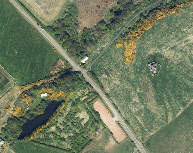
How to obtain up-to-date aerial images from online maps, government platforms, or commercial providers, ensuring adherence to licensing requirements and evaluating image quality.
16 Jul 2024
Choose the aerial photos you want from our large collection, notify us, and we'll prepare and send them to you via email.
16 Jul 2024
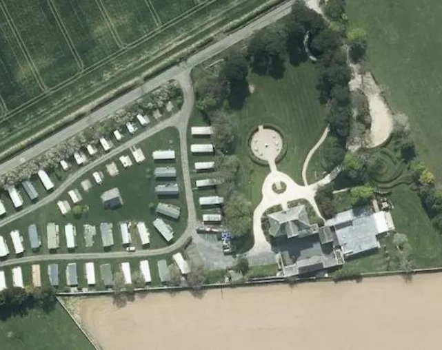
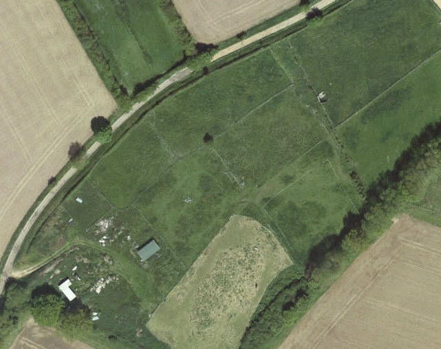
Whether you're looking for an old aerial photo of your house, a gift for a family member, researching local history, or observing changes to your property over the years, explore our collection.
17 Jun 2024
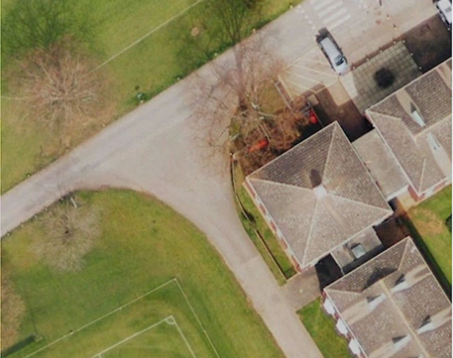
Innovative technologies like aerial photography enhance property solicitors' services and boost revenue with date-authenticated property photos.
07 Jun 2024